


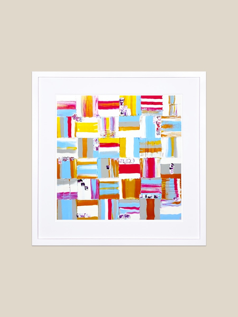
Belgian Winter Sunset V
by Steve Fretwell
D-Day was the boldest, riskiest and most anticipated operation of the entire World War II European Theater.
To Read More
D-Day was the boldest, riskiest and most anticipated operation of the entire World War II European Theater.
To succeed in the Allied invasion of France, Allied commanders needed detailed information about prospective French coastal landing sites and surrounding areas. The entire outcome of the war rested on this invasion, the long awaited massive first step to liberate occupied France and the rest of occupied Europe.
By early 1944, the Allies nearly ruled the skies, having pushed most of the Luftwaffe air operations back into Germany, and were able to photograph all pertinent shoreline and adjacent areas almost at will, although still subject to fierce anti-aircraft fire. While fighters escorted bombers ever further into Germany to destroy military, industrial, transportation, and communication targets, American and British aerial reconnaissance (recce) missions provided millions of photographs detailing every aspect of the forthcoming invasion sites and the German defenses along the beaches of northern France. In contrast, Allied air superiority limited the German Luftwaffe reconnaissance missions over England to see only what the Allied command wanted them to see.
So, while the invasion forces, equipment, and supplies built up, under camouflage, in southern England in the spring of 1944, German reconnaissance aircraft were carefully “allowed” to photograph a fictitious invasion build up in southeast England, presumably aimed at Calais, the closest French soil across the English Channel. American and British reconnaissance flights concentrated on the true invasion area, the beaches of Normandy beyond Le Havre, and more than two hundred miles west of Calais.
Aerial photography combined with code-breaking, spying, French resistance reports, and other intelligence sources to direct an extraordinarily complex plan and enable the successful execution of a massive invasion two years in the making. This painting is the view from 20,000 feet of the area outside of Argenteuil Belgium as seen by the USAAF on the evening of February 19th, 1944.
This painting is the view from 20,000 feet of the area outside of Argenteuil Belgium as seen by the USAAF on February 19th, 1944.
Read Less


COVID gave me the chance to try something new. Technology gave me the means to share my work with the world. My work begins with an intention and quickly becomes an interplay between my intent and the paintings' reaction. I get to be both director and spectator as the collaboration between acting and listening to the voice of the painting gets mirrored onto the canvas; it's an infinite loop of unencumbered creativity.
Sold Framed. Printed on acid and OBA free fine art paper. Frame made from Poplar boards, milled to 0.75 inches tall and 0.75 inches wide at its face. Jointed using WorkWall’s signature spline construction. Finished with white water-based paint. Framed with Crescent® acid free matt board and foam core, mounted behind UV protectant framing grade ACYLITE®. Mounting hardware installed.
Additional specs by product size:
13.25x13.25 inches. Frame: outside dimensions 14.65x14.65 inches, color: white. Matting: thickness: 1.625 inches, color: white. Print: paper dimensions: 11.50x11.50 inches, ink area: 09.50x09.50 inches.
20.00x20.00 inches. Frame: outside dimensions 21.40x21.40 inches, color: white. Matting: thickness: 2.25 inches, color: white. Print: paper dimensions: 17.00x17.00 inches, ink area: 15.00x15.00 inches.